Commission work more precisely
Define work areas and tasks more clearly for contractors.
Service 01 · Mapping
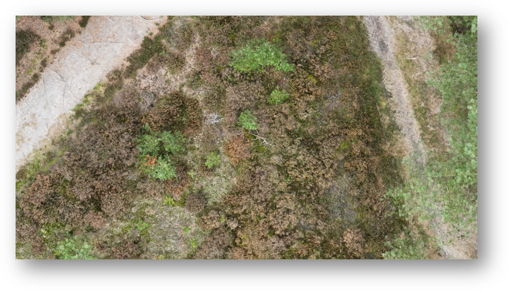
High-resolution maps provide an overview and a practical basis for management, monitoring and field work.

Why we map
Where should a contractor work? What is changing on the site? And which areas need attention? An up-to-date site map provides an overview to define work areas and plan management.
See the whole site and zoom in on the areas that need attention.
A survey is more than
a snapshot…
…it is the first step towards smart,
data-informed conservation management.”
How we map
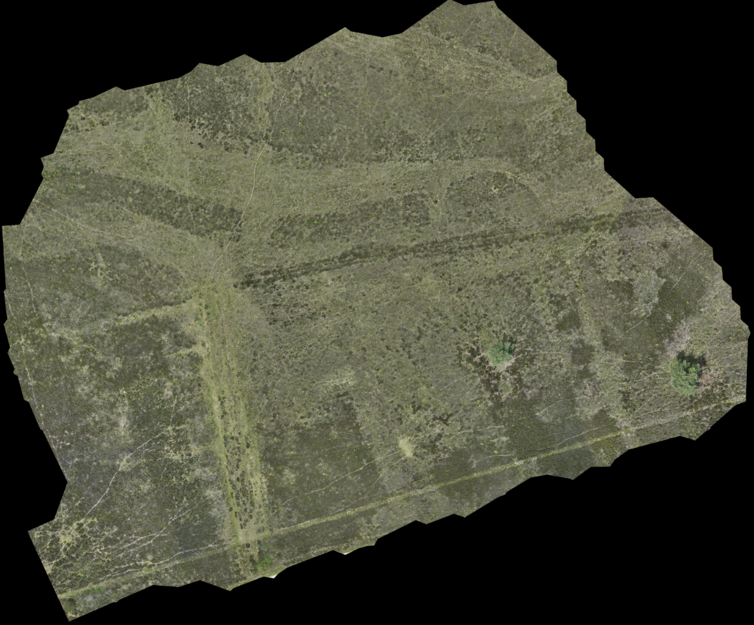
We collect imagery covering the whole area and process it into high-resolution maps. Maps are made available in our online viewer and can also be used in your own GIS environment.
We tailor the survey to your site and the information you need.
What this gives you
Define work areas and tasks more clearly for contractors.
Compare changes across your site over the years with repeat surveys.
See how vegetation develops and whether grazing delivers the intended outcome.
Your data, available
Your maps are stored in our online viewer. View them whenever you want, download them or connect them to your own GIS software through an API.
HeathClean takes care of data storage. You can focus on your site and management goals.
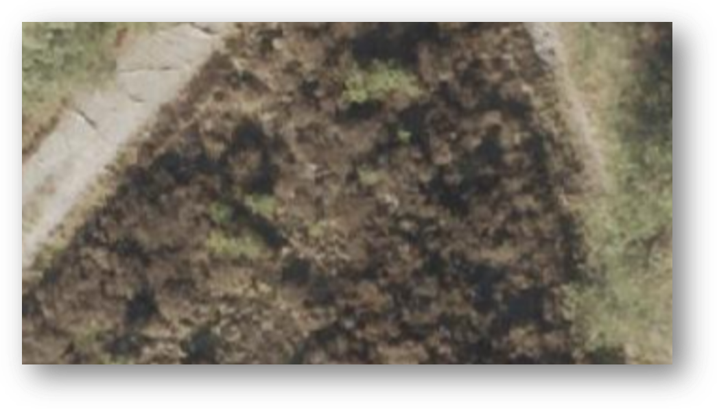
Compare the detail
Compare the satellite image with HeathClean imagery of the same site.
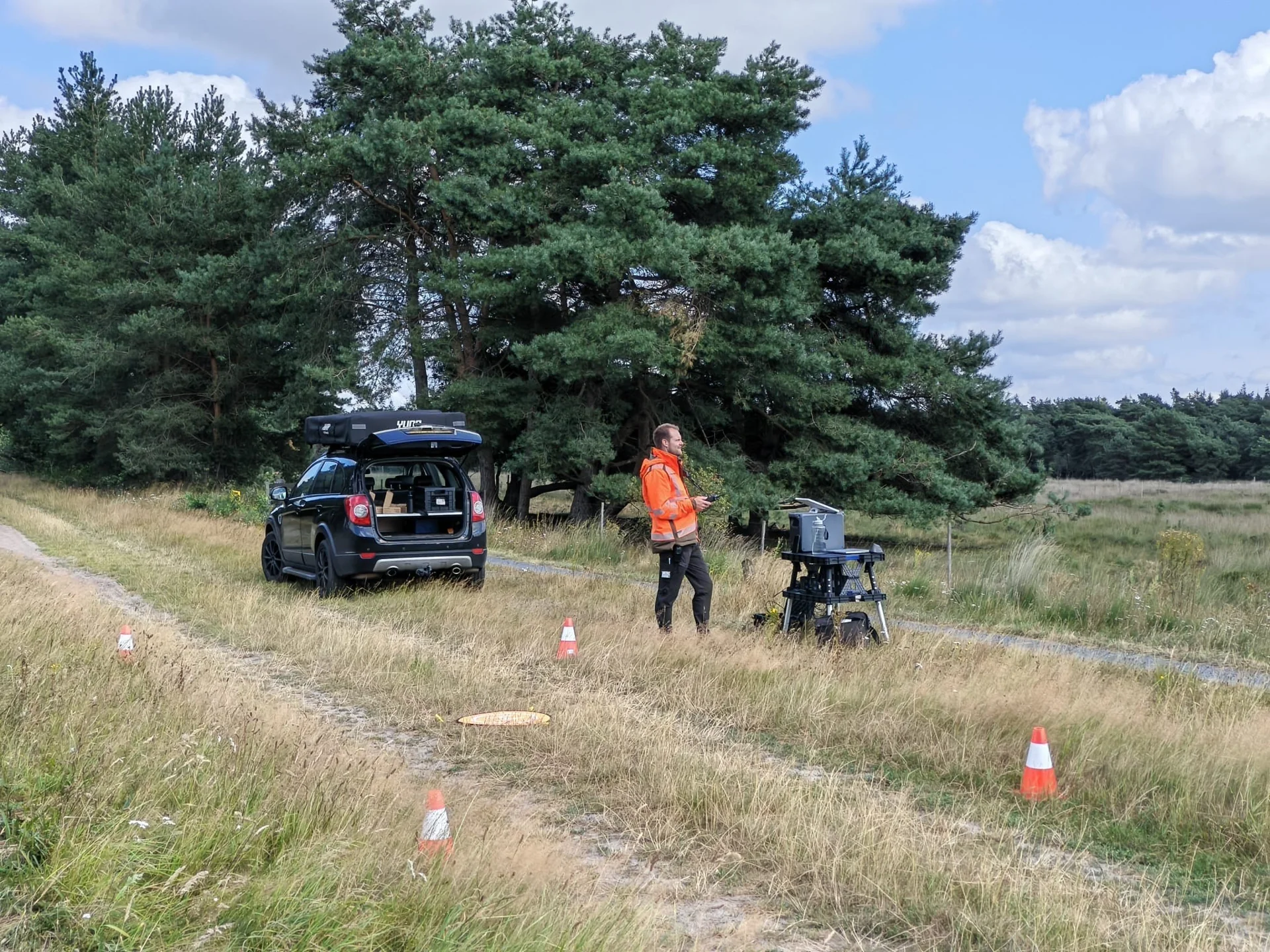
See the field work
See how our services support land managers.
Practical questions
A high-resolution map of the surveyed site in our online viewer. You can view and download the map and connect it to your own GIS through an API. Vegetation analysis is an additional service.
To define work areas for contractors, plan management and compare site development. Repeat surveys also help track the effects of grazing.
It depends on your management goal. For monitoring, we offer a three-year cycle; more frequent surveys are also possible. When sapling removal is repeated, the new survey can also be used for an updated vegetation analysis.
Contact us with your site boundaries, management goal and preferred timing. Together, we discuss the suitable survey and intended use of the maps.
Discover what is possible
Meet us at a presentation or see the solution during a live demonstration in the field.
Cookies at HeathClean
With your permission, we display videos and live news through three external partners. They may use cookies and process data such as your IP address. You decide what to allow. More information.
Want to change or withdraw your choice? You can do so at any time in Privacy settings.
We remember your choice on this device for six months. External processing may take place outside Europe. More information is available in our privacy notice.